
Automated Total Stations (ATS)
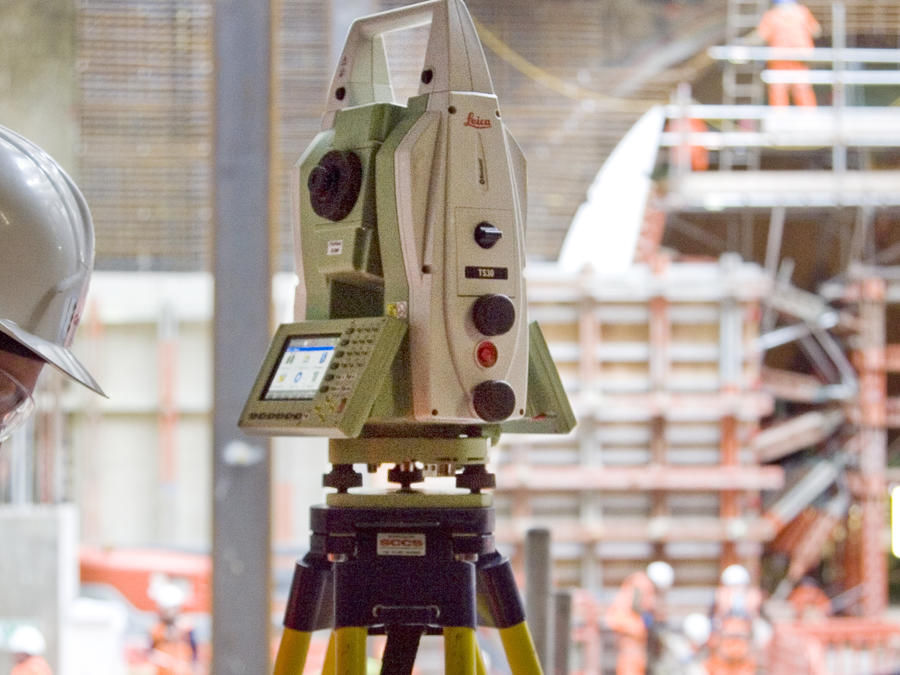
Automated Total Stations (ATS) are an advanced and autonomous optical monitoring system built around a high precision total station.

Manual monitoring
Deformation monitoring and dimensional control projects using both traditional manual surveying methods (including precise levelling) to measure settlement (1D) and Total Station surveys to establish 3D movement of structures.

Tiltmeters
Wired and wireless monitoring of tilt deformation.

Data visualisation - QuickView
GEO-Instruments has created its own in house data visualisation platform with Quickview, allowing clients and stakeholders access to review and analyse their monitoring projects.

Geotechnical instrumentation
We work with a wide range of geotechnical instrumentation used in varied applications. Geotechnical instrumentation is beneficial in all phases of construction from determining initial site conditions to monitoring long-term performance of the structure.

Hydrostatic levelling cells
Hydrostatic levelling cell systems precisely measure vertical structural movement be it settlement or heave, in real-time, using a network of connected sensors.

Shape Accel Arrays (SAA)
Shape Arrays are advanced inclinometer-like instruments used for monitoring settlement, movement and vibration.

Fibre optic sensors
Fibre optic technology is a new, innovative method of measuring strains in structures and geotechnical processes, using light, rather than electric current, as the signal carrier.

Vibration and Noise Monitoring
Automated monitoring provides a reliable and cost-effective way to control construction noise and vibration, protecting project owners, contractors, and nearby properties.

Dust monitoring
