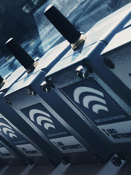
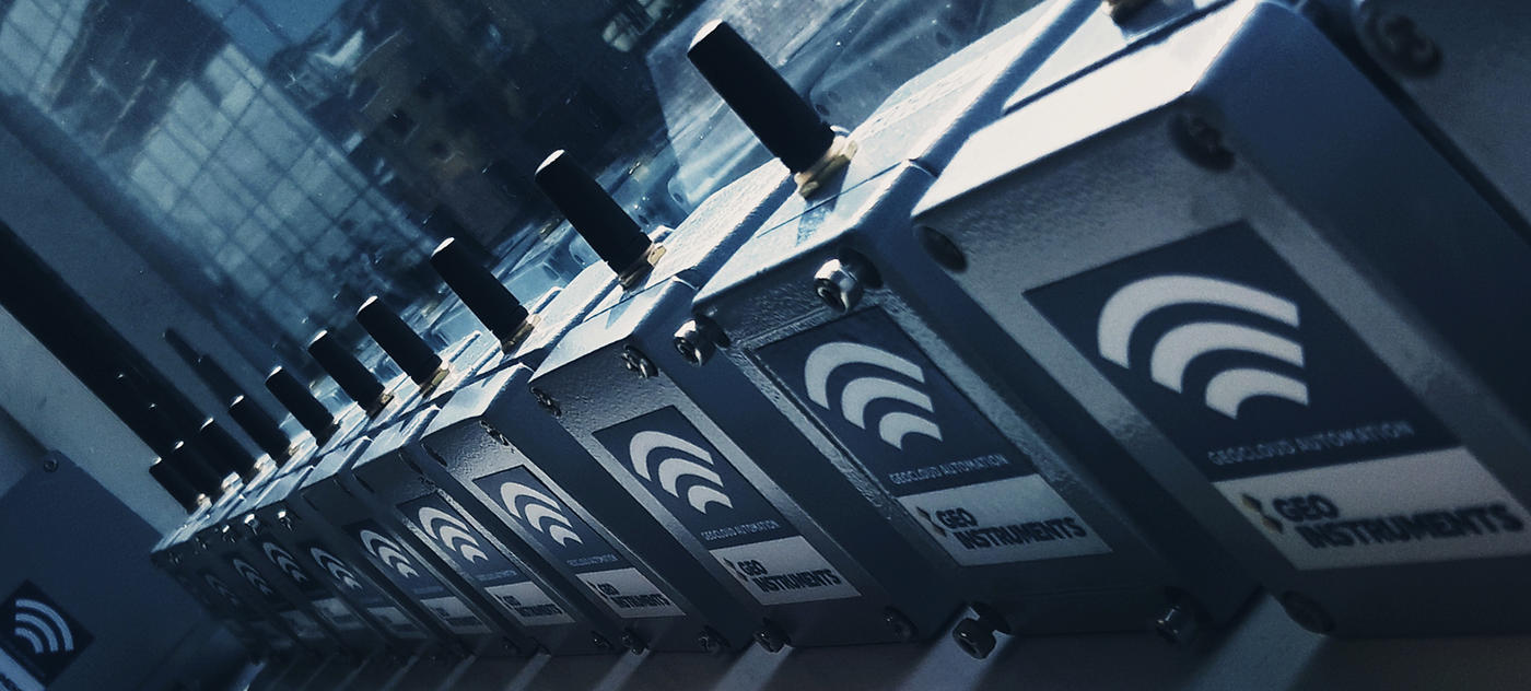
Wireless Tiltmeter networks are a versatile and easily implemented solution for structural monitoring.
Providing high accuracy measurements of inclination across two axes, Tiltmeters allow for detailed observation of movement in a monitored asset.
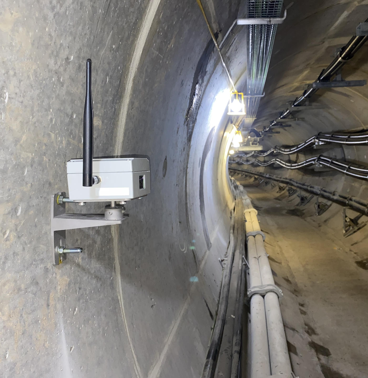
Tiltmeters are a popular solution for long-term, high frequency automated monitoring in locations where regular access is impractical. They are particularly well suited for monitoring Rail, Tunnel and other infrastructure projects.
These systems boast high accuracy, consistency and longevity, with batteries that can last several years.
We work with wide range of industry-leading manufacturers to enable us to adapt our solutions to best match the needs of the project.

Common uses
Process
Tiltmeter networks gather and transmit data automatically though the use of one or more on-site Gateways. Networks are made more robust through the use of sophisticated mesh networks where signal and data can "hop" between sensors and optional additional nodes. This can dramatically extend the range of networks where sensors may not be able to communicate with the gateway directly.
These options provide highly flexible deployment permutations in comparison to hub and spoke wireless alternatives. There are a variety of options for gateways and communication methods to best suit the needs of the project.
For applications where battery life is a concern, wired tiltmeter options are also available.
When used used with GEO-Instruments' visualisation software QuickView, Tiltmeter data can be used to accurately calculate and understand factors like tunnel deformation and track twist and cant.
Tiltmeter networks can also be combined with other automated instrumentation options like settlement cells (HLCs). These composite solutions can help monitor three-dimensional deformation of assets where other 3D monitoring solutions are not feasible.
Combining inclination and settlement monitoring in this way gives a more complete picture of structural movement has allowed us to collect vital insight on many successful projects.
Tiltmeters

