GEO-Instruments UK are providing a geotechnical and structural monitoring scheme for a new area of development at the London Gateway port.
Berth four of the DP World London Gateway Port Facility is an expansion to the existing logistics hub located near Stamford-Le-Hope in Essex. The new berth represents a £350 million investment and will significantly increase capacity of the port.
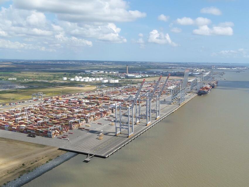
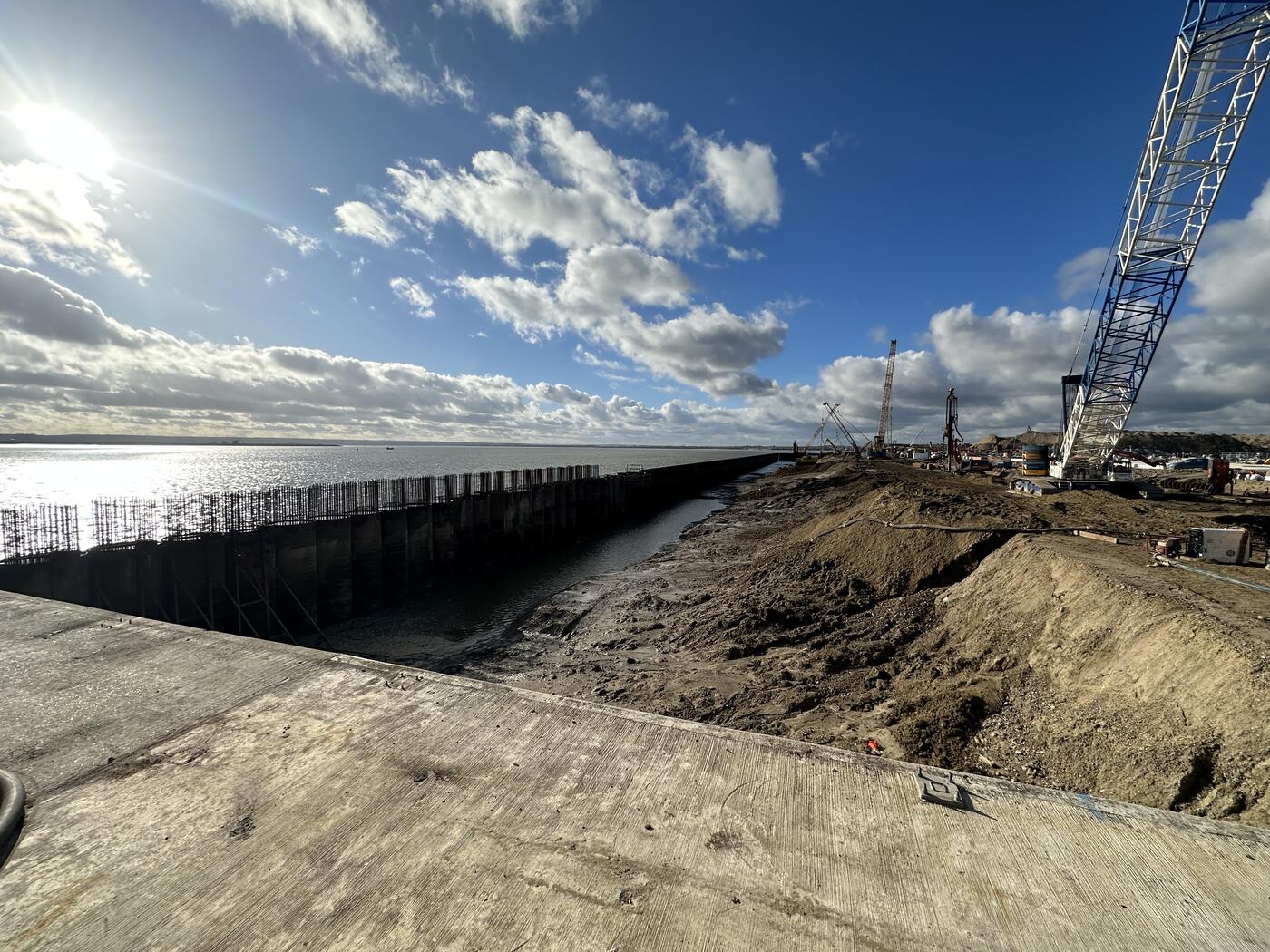
Principal contractors McLaughlin & Harvey are undertaking the construction of the new berth, which requires piling works on the existing land and significant land reclamation works to extend the dock out into the river. GEO-Instruments’ monitoring scheme includes instrumentation to monitor both aspects of the project.
Establishment of the monitoring scheme took place over several site visits spread across 12 months. Multiple phases of construction needed different monitoring solutions, each requiring varying equipment, methods and expertise.
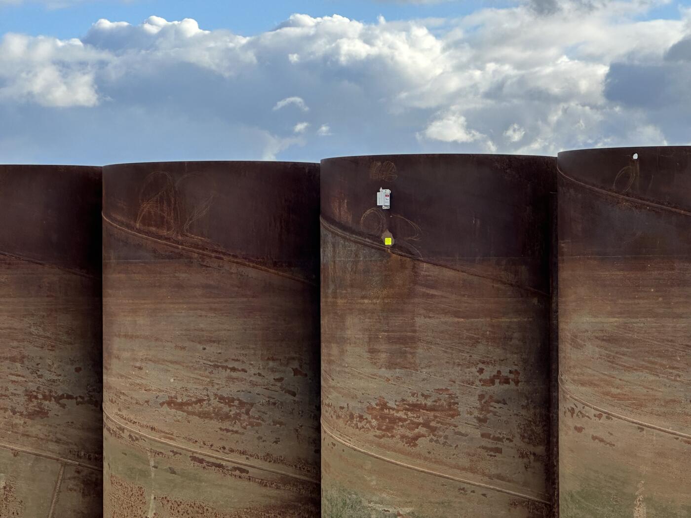
In 2023, during the construction of the new quay wall, Wireless tiltmeters were installed using magnets onto the steel tubular piles to monitor for deflection as vibro compaction took place inside of the wall. Engineers installed the instruments from a boat, working around tide times to gain the necessary access.
Keller were responsible for the vibro-compaction works carried out to improve the density of the granular material backfilled into the new dock area.
Afterwards, piezometers were installed into the sand in the reclaimed area to measure changes in water level until the quay wall was sealed. Drive-in piezometers were used to allow for installation methods that were more suited to project conditions. Installations also had to be coordinated around low tide levels in limited time windows when working in certain areas.
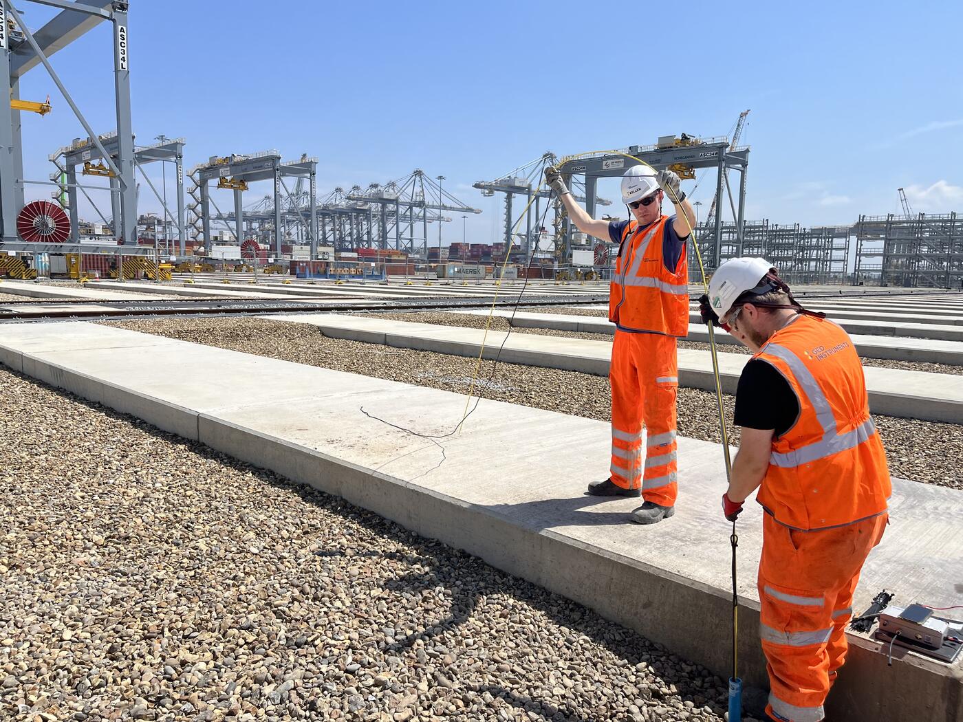

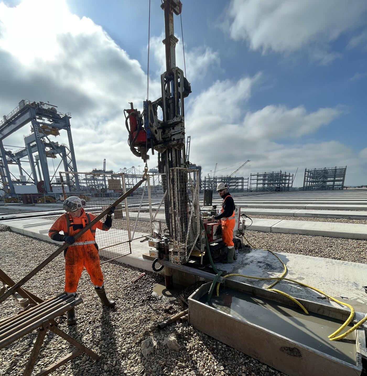
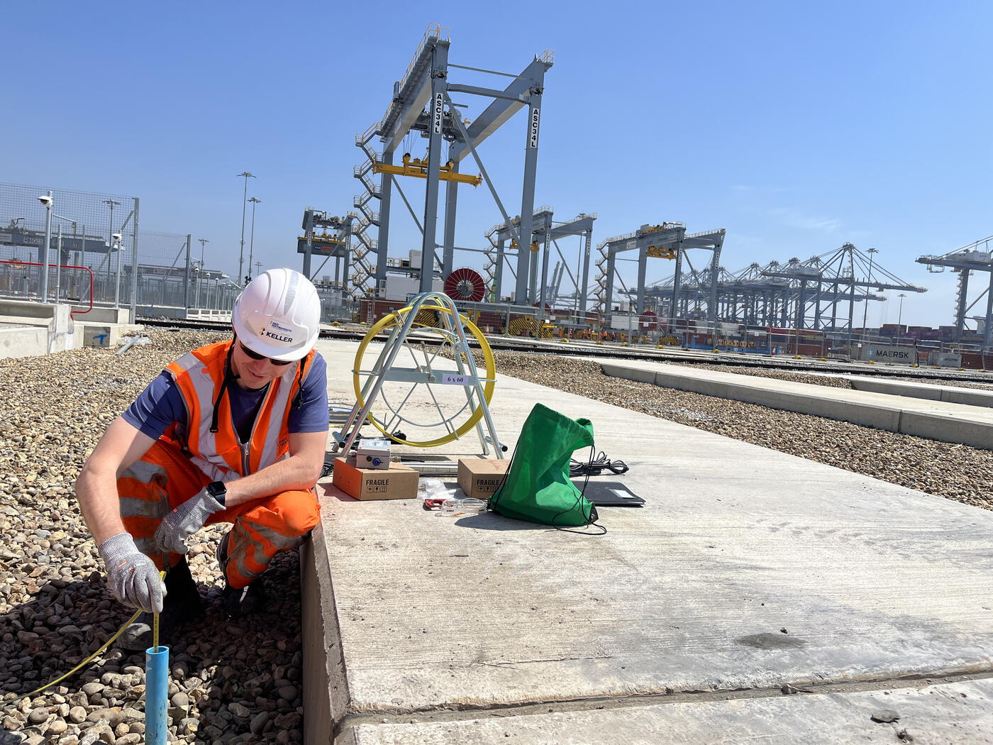
On the landside section of site, IP-X sensors have been installed to monitor ground settlement in two initial boreholes next to the newly constructed crane stacks. An additional four IP-X have been installed into the reclaimed land.
The GEO-Instruments team coordinated with specialist drilling subcontractors to establish the boreholes.
IP-Xs are an innovative way of providing automated Magnetic Extensometer data that can measure ground movement at multiple depths within a borehole. Usually a manual process, automating the measurement of these sensors significantly increases the frequency, accuracy and reliability of readings while eliminating the need for future site visits.
The sensors were installed into drilled boreholes to a depth of 21m with monitoring magnets spaced every 3-4 metres within the borehole.
The design of the monitoring scheme was able to save costs by managing automated data collection for the Piezometers, IP-X Sensors and Tiltmeters all on a single wireless gateway.
Robert Orr, Project Manager for GEO-Instruments said:
“It has been a really interesting project so far. We’ve had some challenging installations but are working with a great project team and have been able to efficiently respond to any issues that arise. I’m looking forward to seeing the project progress.”
Collected monitoring data is managed and visualised using GEO-Instruments’ online monitoring platform QuickView. The software allows for fast and easy display and export of measured data, featuring robust reporting tools to notify users when values exceed specified thresholds.
This long-term monitoring scheme is set to evolve as construction progresses. The next phase is to expand the scheme over the coming weeks with the installation of a further 5 IP-X sensors.
Find out more about our experience on dock monitoring projects.
