Working on monitoring projects can often involve long hours in dark tunnels or in other less than ideal locations, but occasionally a job allows engineers to check out things above as well as below ground.
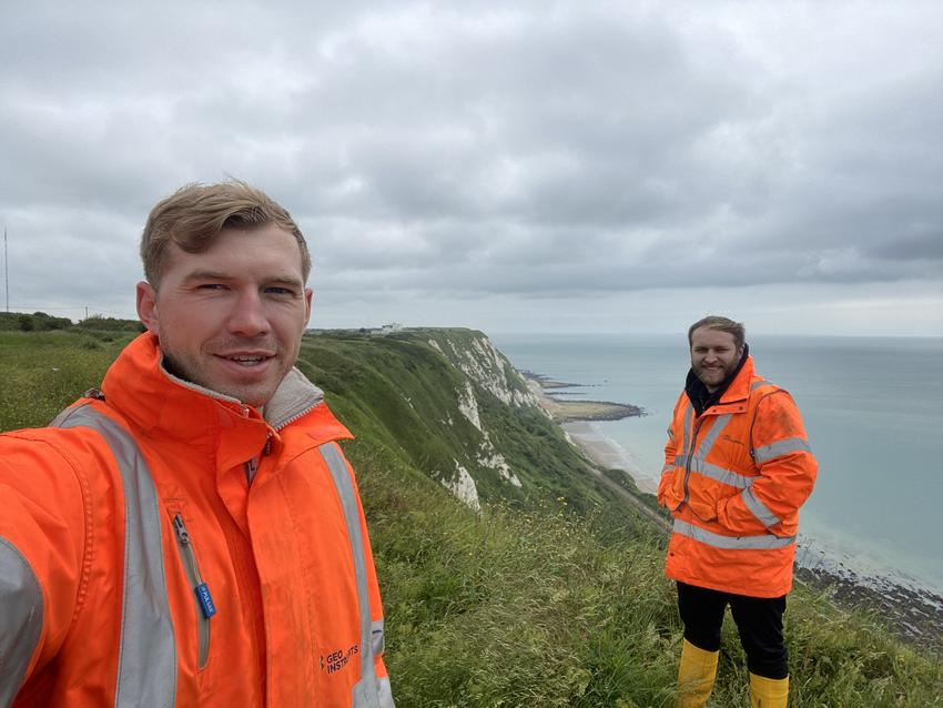
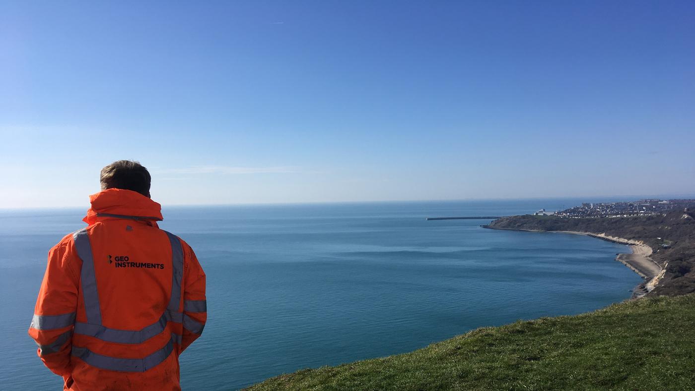
GEO-Instruments duo Reggie Harrison and Rob Orr were treated to amazing views of the south coast of England while conducting a regular maintenance visit to an ongoing embankment monitoring project.
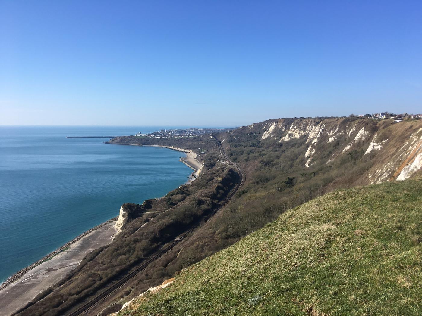
The site is located next to railway tracks running along the Kent coastline. The key aim of the job is to monitor the ground conditions of the embankment and cliffside above and below the tracks.

One of our longer term jobs, instrumentation has been recording continuously for more than five years.
All of the data collection is automated and the project requires only brief maintenance visits every three months to swap the batteries powering the instrumentation. The remote location of the site means that no mains power is available.
A comprehensive monitoring system has been installed across the monitored area. The site is split into two sections by the tracks and these sections have differing instrumentation based on the ground conditions and design of the monitoring scheme.
The lower section of site, closer to the coast, includes vertically installed ShapeArrays, Piezometers, Wire Extensometers, a weather station and sensors to measure Soil Moisture Deficit.
The upper section of site has a combination of horizontally installed TiltArrays and Wire extensometers.
In this application, the ShapeArrays are used to measure movement in the ground at depths up to 70 metres. The Piezometers and Soil Moisture Probes are used to get a detailed picture of the water content of the soil. The weather station includes instrumentation to measure rainfall, temperature, wind speed/direction and sunlight.
Combining all these factors and recording data over long periods allows clients to understand any ground movements and how they relate to the state of the soil and weather conditions.
As mentioned above, all the data is collected and sent automatically from site. Using a such large variety of sensors and loggers in applications like this is important to give a complete overview but can cause problems with collating and visualising the information.
GEO-Instruments’ software QuickView is designed to make this process easy. Both our own engineers and our clients use the software to manage and present data in user friendly and meaningful ways.
To find out more about our other current and previous projects click here.

