A successful one-year trial of landslip monitoring in Dorset has now been extended into a long term monitoring project, with the potential to continue for over a decade.

GEO-Instruments has installed an extensive system of instrumentation to monitor the progression of a historical landslip near the A35. The system design has a number of bespoke elements and uses a combination of Piezometers, a network of wireless tilts and two TiltArray™ deformation monitoring systems.
The TiltArray™ systems are installed vertically to a depth of 50m to measure changes in inclination and the depth of slip surfaces.
For this application they offer a few advantages over traditional Inclinometers. Their flexibility and resilience to larger movements made them ideal for this project.
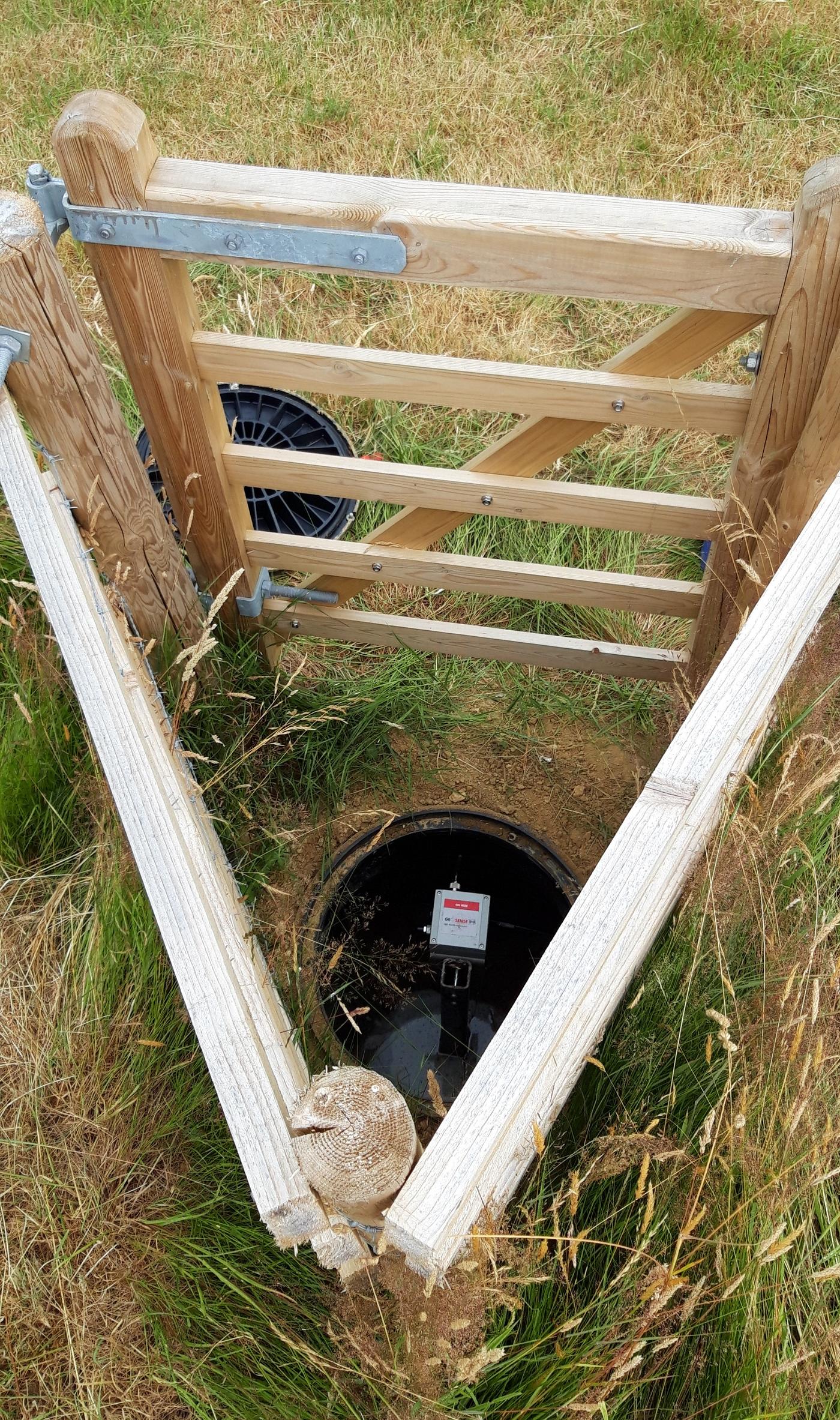
The Wireless tilts are installed sub-surface in protective chambers and mounted on 2m steel posts buried in the ground, in and around the landslip area. With the Tilts spread evenly, this allows for a broad picture of movement across the area.
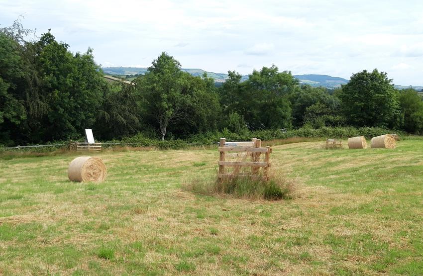
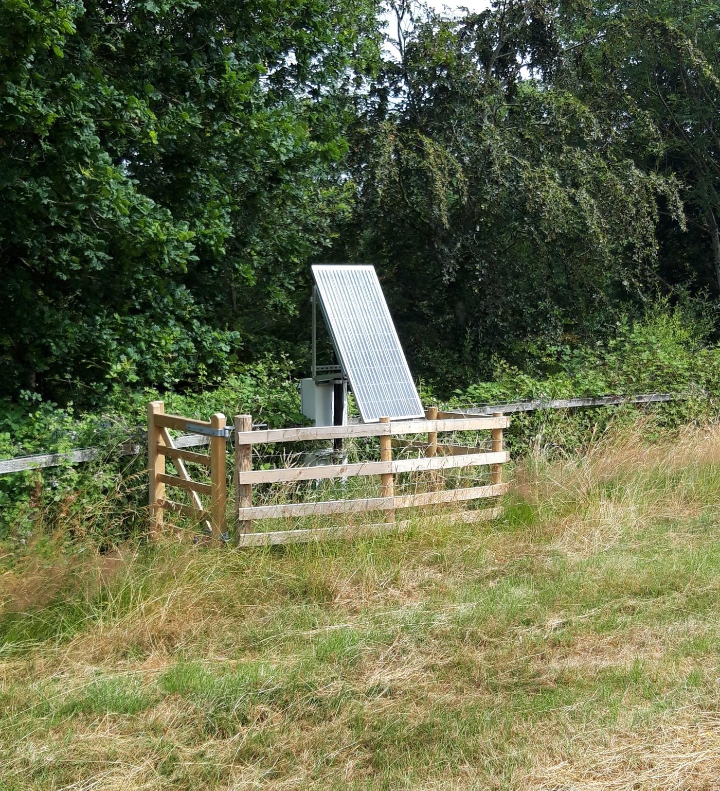
Whilst the equipment is installed in private farmland there is a need to mark the locations and protect from livestock and farm machinery. Installations are protected on the surface by the small fences pictured below.
As this monitoring solution is fully automated, the next few years of monitoring can go ahead uninterrupted.
Combining Solar panels, wireless loggers and gateways as well as GEO-instruments' web-based monitoring software QuickView means that our clients can continue to keep a close eye on the project with a minimised need for an on-site presence.

