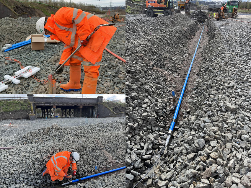
GEO-Instruments engineers have implemented a monitoring system for an extensive road improvement project in Scotland, incorporating multiple types of geotechnical instrumentation.

The project involves widening an existing road into a dual carriageway, the removal of a bridge and construction of a new roundabout. Preparatory work began in early 2024.
The GEO-Instruments team are providing an instrumentation and monitoring scheme for a key section of the construction works. The focus of the scheme is in-ground instrumentation installed below the footprint of an embankment that will be built over the coming year.
Monitoring is required to observe potential ground movement and confirm stability of the soil below the road improvements. The monitoring scheme consists of two ShapeArray (SAA) sensors, In-Place Inclinometers (IPIs) and Piezometers to comprehensively measure ground movement and water levels.


The ShapeArrays, measuring 47 metres and 17 metres in length are installed horizontally in metre-deep trenches. These highly accurate sensor strings will detect vertical ground movement longitudinally along the embankment and beneath the new road.
Lateral movement, perpendicular to the planned embankment is monitored using two 4.5 metre depth Inclinometers (IPIs).
The nearby piezometers will monitor levels of water in the soil which can have a significant impact on ground conditions.

Monitoring data is recorded hourly and transmitted wirelessly to a local gateway for remote export into GEO-Instruments’ data server. From there, all monitoring data is processed by our QuickView platform for online viewing and analysis.
The project is a good example of a typical in-ground instrumentation system achieved through the use of multiple types of sensors selected based on the specific needs of the project.
The monitoring system will be in place for at least twelve months, but the installed instrumentation has a potential lifespan of many years.
Learn more about our ground movement monitoring projects.